University College has outstanding faculty, and we want to share what great things our faculty are doing by creating the University College Teaching Spotlight blog. This blog will be dedicated to highlighting the innovative, energizing, and impactful things our faculty are doing in their courses. We hope this blog will not only highlight what our faculty are doing, but also inspire others. Every month a different faculty member will be highlighted, and we encourage everyone to share their innovative and impactful teaching experiences, including colleagues and students.
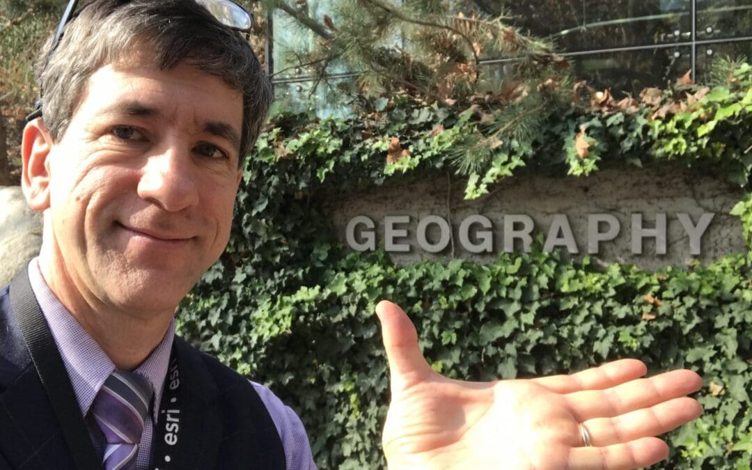
Our inaugural Teaching Spotlight blog post features Joseph J. Kerski, a faculty member from the Geographic Information Sciences (GIS) program, who has been teaching at University College since 2000. In Kerski’s class, GIS 4630: Public Domain Data for GIS, students are grappling with real data and solving problems they care about, from local environmental problems to international tourism. In this way, he uses relevant, 21st-Century issues to engage students in course concepts like responsible data use and learning how data is produced, while furthering their development of critical thinking and problem-solving skills.
While many people think of GIS as looking at geographical data and creating maps, Kerski takes GIS to a more macro level. He uses software called Story Maps, which allows users to make maps with multimedia such as video, audio, and photographs—also known as story mapping. Story mapping uses various data, including “crowdsourced” data, which is shared data from other users. Story Maps is easy to use and allows students to create maps using problem-solving skills learned in class and apply them to real-life examples from local to global issues.
Story mapping goes beyond geographical data and looks at privacy, quality issues on data, copyright issues, internet safety, legal concerns, and health and environmental issues. Story mapping encourages students to think critically and holistically, and to use technology in a meaningful way.
In Kerski’s course, students use story mapping in their assignments to analyze different problems such as:
—Creating an ecotourism map in New Zealand
—Assessing optimal locations for tea cultivations in Kenya using World Wildlife Foundation data sets
—Flood mitigation in the Boulder area
Data and information gathered from story mapping aren’t just for GIS professionals, but can also be used by policy makers and politicians. Kerski’s innovative teaching style emphasizes what University College strives for: providing a project- and practice-based curriculum that students can apply to their careers. By focusing on critical thinking and creating practical hands-on projects, students become better decisions makers and are building skills that make them marketable and desirable in the GIS field.
For support with implementing teaching ideas sparked by this blog (or any others!), contact your Instructional Support Specialist.
Want to share your teaching story? Fill out our University College Teaching Spotlight form!

